Free Printable Map of Ireland PDF Download – Looking for a free printable map of Ireland? Whether you need it for a classroom geography lesson, homeschool project, travel planning, or just learning the counties of the Emerald Isle, several reliable sites offer high-quality, ready-to-print versions at no cost.
This guide helps USA readers find legitimate free downloads in PDF or image formats that work well on standard letter-size paper. You will find options with counties labeled, blank outlines for quizzes, physical features, and more. All recommended links open in a new tab and use nofollow for transparency.
Why a Printable Map of Ireland Is Useful?
Ireland consists of the Republic of Ireland (26 counties) and Northern Ireland (6 counties, part of the UK). A clear map helps students memorize the four historic provinces—Leinster, Munster, Connacht, and Ulster—or plan a road trip along the Wild Atlantic Way.
Americans often search for free printable Ireland maps for:
- Homeschool geography units
- Classroom worksheets and quizzes
- Coloring activities for kids
- Trip planning or scrapbooking
- Quick reference while studying history or culture
High-resolution PDFs print cleanly on US Letter paper without distortion when you select “fit to page.”
Best Places to Download Free Printable Maps of Ireland
Here are trusted sources that currently offer free downloads with no signup required for the basic files. Always check the license on the page for personal, educational, or commercial use.
High-Quality County and Blank Maps (Multiple Versions)
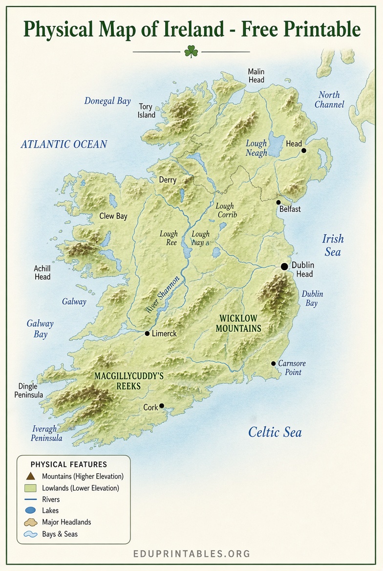
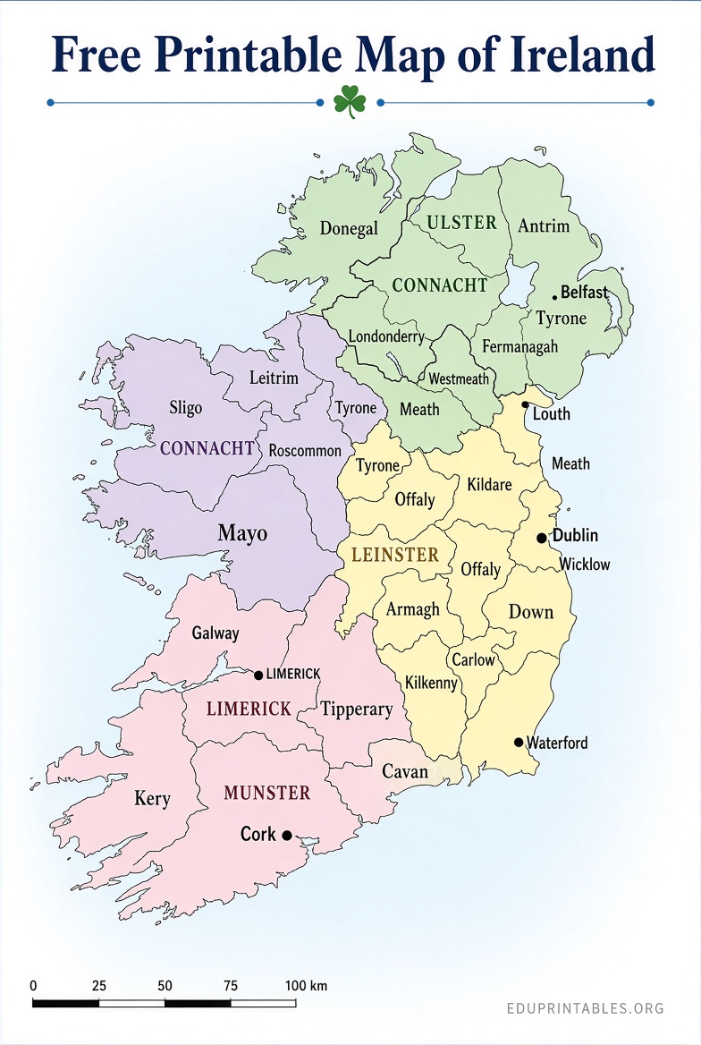
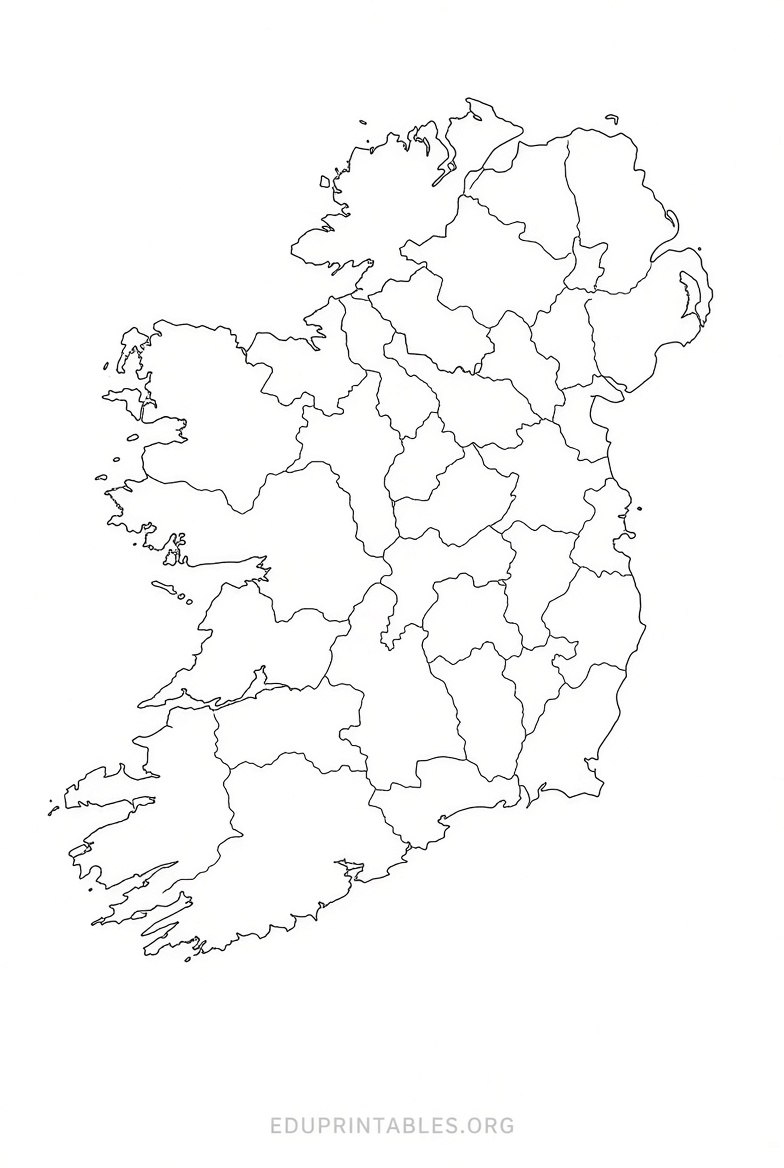
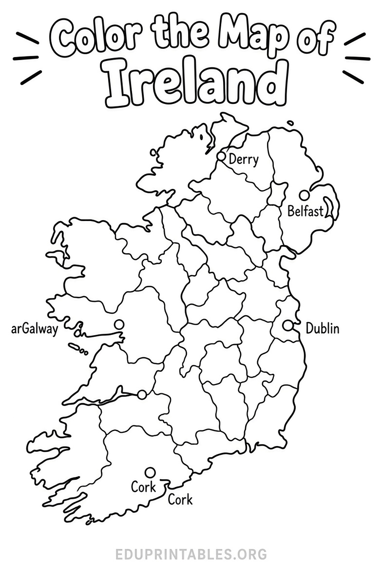
One of the most useful collections provides political maps showing all counties and capitals, named versions with major cities, blank outlines, color-by-county maps, kids’ coloring pages, and a physical map with relief and rivers. These free high-quality PDFs are ideal for study or classroom use.
Download them directly here:
Free Map of Ireland Printable PDFs – MundoMapa
Public-Domain Blank and Labeled Maps
This site offers clean, public-domain (CC0) maps of Ireland in blank, labeled, colored, and cities variants. Download as SVG, PNG, or PDF sized for US Letter. No watermark and no attribution required, making it excellent for worksheets or editing.
Get the free files here:
Blank Map of Ireland Printable PDF & PNG – SimpleMapLab
Labeled County Map of Ireland
World Map Blank provides free printable maps of Ireland with counties clearly marked. PDF and JPEG versions work well for teaching, presentations, or travel planning. Bundles with county seats and towns are also available at no cost.
Access the free download here:
Printable Ireland Map with Counties – World Map Blank
Additional Free Outline and Physical Maps
Mapswire offers several free maps of Ireland under a Creative Commons license, including physical and printable blank versions. These provide another solid option if you need variety.
Download free maps here:
Free Maps of Ireland – Mapswire
(Note: Official Irish mapping agency Tailte Éireann / Ordnance Survey Ireland sells detailed maps and offers open data for GIS users, but does not currently provide a simple free whole-country printable PDF for general public download.)
Free Printable Map of Ireland PDF Download
How to Print Your Free Ireland Map Successfully?
- Download the PDF for best quality.
- Open it in any PDF reader.
- Choose “Fit to page” or “Scale to fit” and select Letter size.
- Use color for labeled or physical maps; black-and-white works fine for blank outlines.
- For posters, use the SVG version if available and send it to a print shop.
Blank maps pair well with labeled versions—print the blank one as a quiz and the labeled one as the answer key.
Quick Tips for Using the Maps
- Teachers and parents: Use blank county maps for labeling races or coloring activities.
- Travelers: Mark visited counties or plan routes with a labeled version.
- Students: Study the provinces and major cities (Dublin, Cork, Galway, Limerick, Belfast).
- Always respect the site’s stated license—most of the resources above allow free personal and educational use.
Frequently Asked Questions
How many counties does Ireland have?
The Republic of Ireland has 26 counties. The whole island of Ireland has 32 when including Northern Ireland’s 6.
Are these maps really free?
Yes. The linked sites offer the listed maps at no cost for personal and educational use. Verify any commercial restrictions on the individual pages.
What paper size works best for US printers?
US Letter (8.5 × 11 inches). Most of the recommended PDFs are designed or easily scaled to fit.
Can I use these maps in the classroom or for homeschooling?
Absolutely. They are popular resources for geography lessons and activities.
Is Northern Ireland shown on these maps?
Many include the full island and clearly distinguish the Republic from Northern Ireland.
A free printable map of Ireland is easy to find and use. Start with the links above, download the version that fits your needs, and print it today. Happy exploring of the Emerald Isle—on paper first!