Printable World Map for Kids Free Downloads – A printable world map for kids is one of the simplest and most effective tools for teaching geography at home or in the classroom. These maps help children learn the seven continents, five oceans, major countries, and basic map skills while keeping the activity hands-on and screen-free. Many trusted sites offer free versions designed specifically for young learners, so parents and teachers can download and print them quickly without cost.
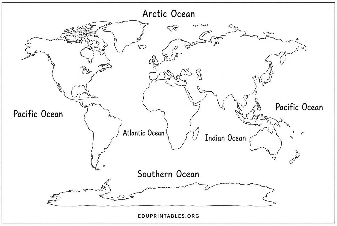
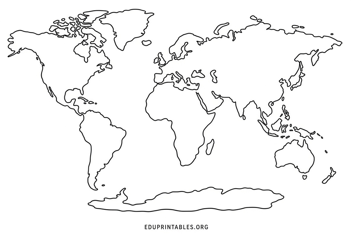
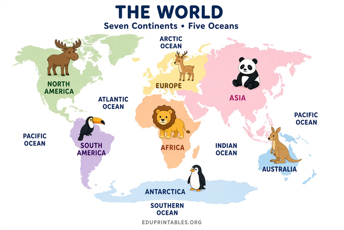
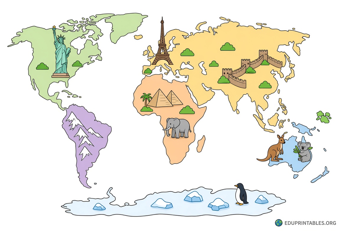
Whether you need a simple blank outline for labeling practice, a colorful illustrated map with animals and landmarks, or a political map with country names, a good printable world map for kids supports early geography lessons, homeschool units, classroom activities, and even room decor.
Why Printable World Maps Help Kids Learn Geography?
Young children learn best when they can see, touch, and interact with information. A printable world map lets kids color continents, label oceans, point to places they hear about in the news or books, and connect abstract ideas to a real visual layout. Repeated exposure to the same map on the wall or desk builds spatial awareness and long-term memory far better than looking at a screen once.
Age-appropriate versions matter. Younger kids (preschool through early elementary) do well with large, simple continent outlines or maps that include animals and landmarks. Older elementary students benefit from maps that show country borders so they can practice locating places, understanding relative location, and learning major countries.
Best Free Printable World Maps for Kids
Here are reliable places that offer genuine free printable world maps suitable for children. Each link goes to the actual download or resource page.
- Kid-friendly illustrated maps with animals and landmarks — World Map Blank offers three free versions designed for children: an animal map that names the seven continents and five oceans, an unlabeled picture map with landmarks for younger kids, and a country map with names and colors by continent. The free PDFs and JPGs are sized to print cleanly on US Letter paper with no signup required for the standard versions. Visit their World Map for Kids free download page.
- Classroom-ready bundle with activities — We Are Teachers provides a free printable world map bundle that includes multiple projections (Mercator and Robinson), blank and labeled versions, cut-and-paste worksheets, and scavenger hunt activities. It is designed for elementary and middle school use and is available after a short form. Get the free printable world map bundle from We Are Teachers.
- Blank and labeled maps for active learning — Blank Map of World hosts a collection of free printable physical, political, labeled, and blank world maps in PDF and PNG formats. These work well for labeling practice and classroom or homeschool use with no registration needed. Explore the free maps at Blank Map of World.
- Simple blank outlines for labeling and coloring — Homemade Gifts Made Easy offers several free printable blank world maps (standard outline, oceans-focused, and curved-edge versions) created with MapChart resources. They are intended for personal, non-commercial use and are easy to download for geography or related lessons. See the options on their free printable blank world map page.
- National Geographic coloring map with flags — National Geographic provides a free multi-page printable world coloring map that includes country flags. Kids can print, trim, assemble, and color the panels while learning geography in a more detailed, flag-focused activity. Access it from the National Geographic free world coloring map page.
Printable World Map for Kids Free Downloads
How to Print and Use a World Map with Kids?
Most of these maps print well on standard US Letter paper. For the clearest results, use the PDF version when available, set your printer to “fit to page” or “actual size,” and choose color if the map relies on color coding. For classroom or wall use, print on slightly heavier paper or cardstock and consider laminating so kids can write on it with dry-erase markers and reuse it.
Start simple. Begin with continents and oceans, then move to major countries. Let children color each continent a different color, place stickers for animals or places they know, or mark where family members live or places they want to visit. Pair the map with a short book, news story, or travel planning activity to make the learning concrete.
Practical Tips for Parents and Teachers
Keep the map at the child’s eye level so they naturally look at it often. For younger kids, focus on big features and fun details rather than every country name. Older kids can use blank maps for quizzes or current events by locating places mentioned in lessons or the news. Always check the site’s terms for personal or classroom use, and prefer maps that clearly show all seven continents including Antarctica and the five oceans.
A printable world map for kids works as both a learning tool and room decor. Once printed and used, many families leave it up as a reference that sparks ongoing conversations about the world.
Frequently Asked Questions
Where can I get a free printable world map for kids?
Trusted free options include the kid-specific maps from World Map Blank, the activity bundle from We Are Teachers, blank and labeled maps from Blank Map of World, simple outlines from Homemade Gifts Made Easy, and the coloring map from National Geographic. Links to the actual resource pages are listed above.
What paper size works best?
Most of the free maps listed are designed to print cleanly on standard US Letter paper. Some also work well on A4. Use the PDF files for the most reliable results.
Are these maps good for homeschool and classroom use?
Yes. The maps and activity bundles from educational sites like We Are Teachers and the various blank/labeled options are commonly used by homeschool families and teachers for geography lessons, labeling practice, and interactive activities.
Do free printable world maps usually include continents and oceans?
Good kids’ versions do. Look for maps that clearly label or allow labeling of the seven continents and five oceans so children learn the basic structure of the planet first.