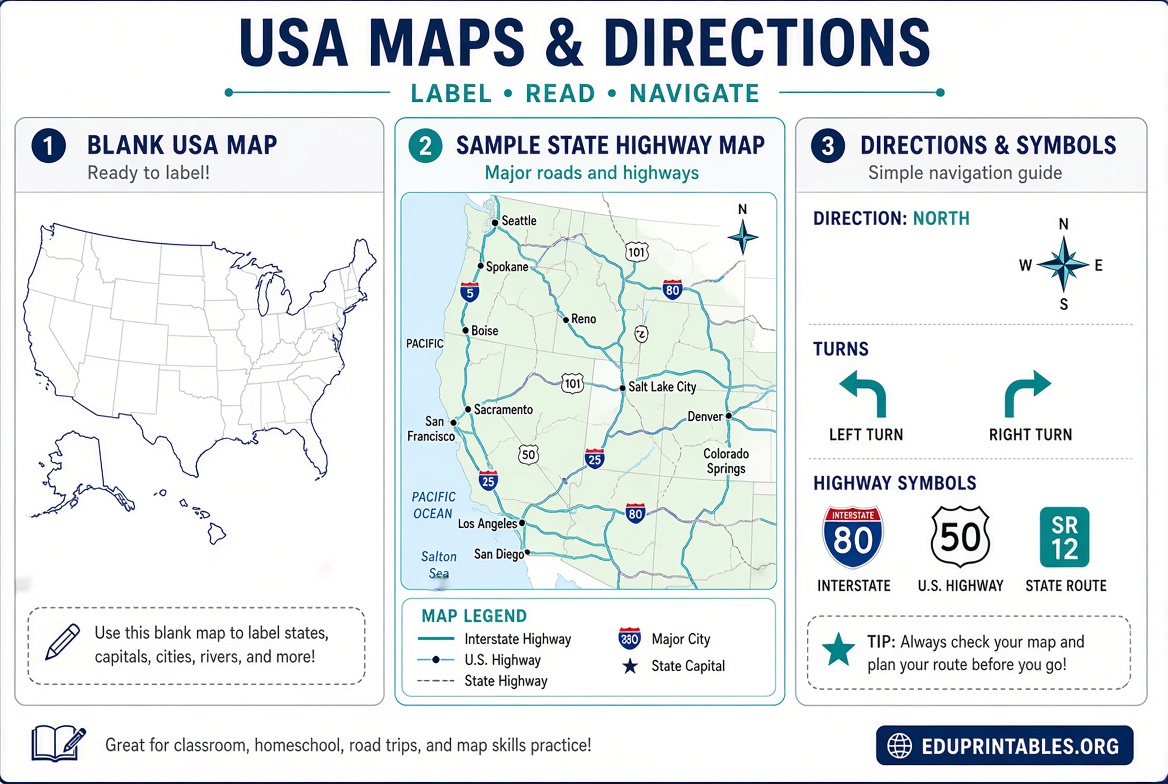
Free Printable Maps & Directions USA Guide – Looking for free printable maps and directions for road trips, hiking, classroom use, or offline navigation across the United States? Reliable government and mapping services provide high-quality PDFs and print-ready routes you can download or print at home at no cost. This resource page explains the best legitimate sources, how to get what you need, and practical tips for using them.
Why Free Printable Maps and Directions Still Matter?
Digital navigation is convenient, but printed maps remain useful when cell service drops, batteries die, or you want a full overview for planning. Free printable maps and directions from official U.S. sources give accurate topographic detail, road networks, and turn-by-turn routes without subscriptions or watermarks. They support everything from cross-country drives to local trail exploration and educational projects.
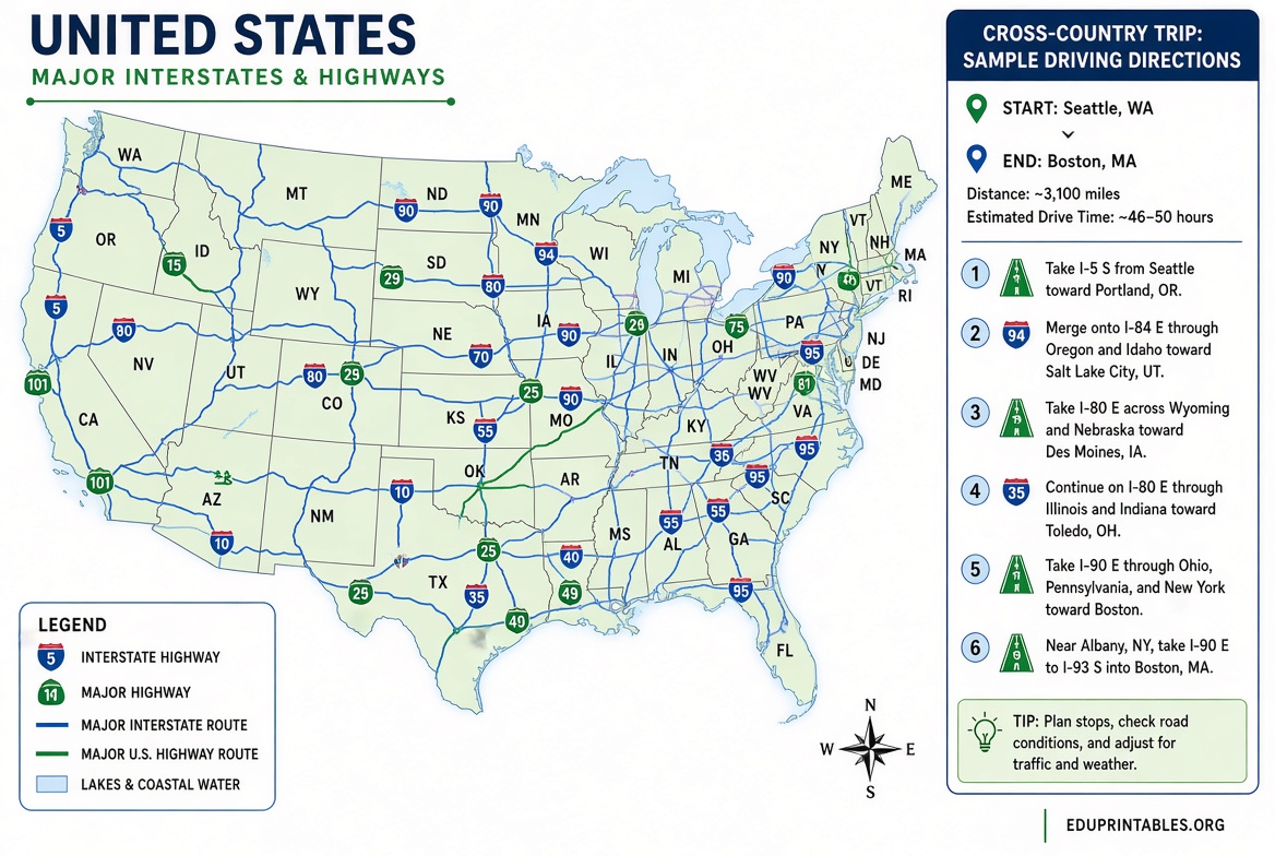
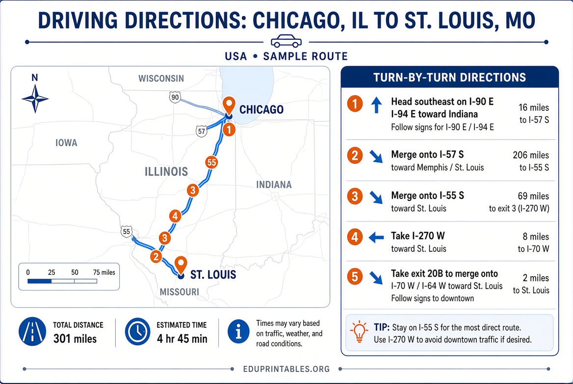
Print Free Driving Directions with Google Maps
Google Maps remains one of the simplest ways to generate free printable maps and directions for any U.S. route. On a computer, open Google Maps, enter your starting point and destination, select the preferred route, then use the print option. You can choose to include an overview map with the turn-by-turn text or print text only. The official instructions confirm this process works directly in the browser.
Visit Google Maps to create and print your directions. For step-by-step guidance, see Google’s help page on sharing, sending, or printing directions.
This works well for city streets, interstates, and multi-stop trips. Print on standard letter paper and keep a copy in the car as a backup.
Download Free USGS Topographic Maps
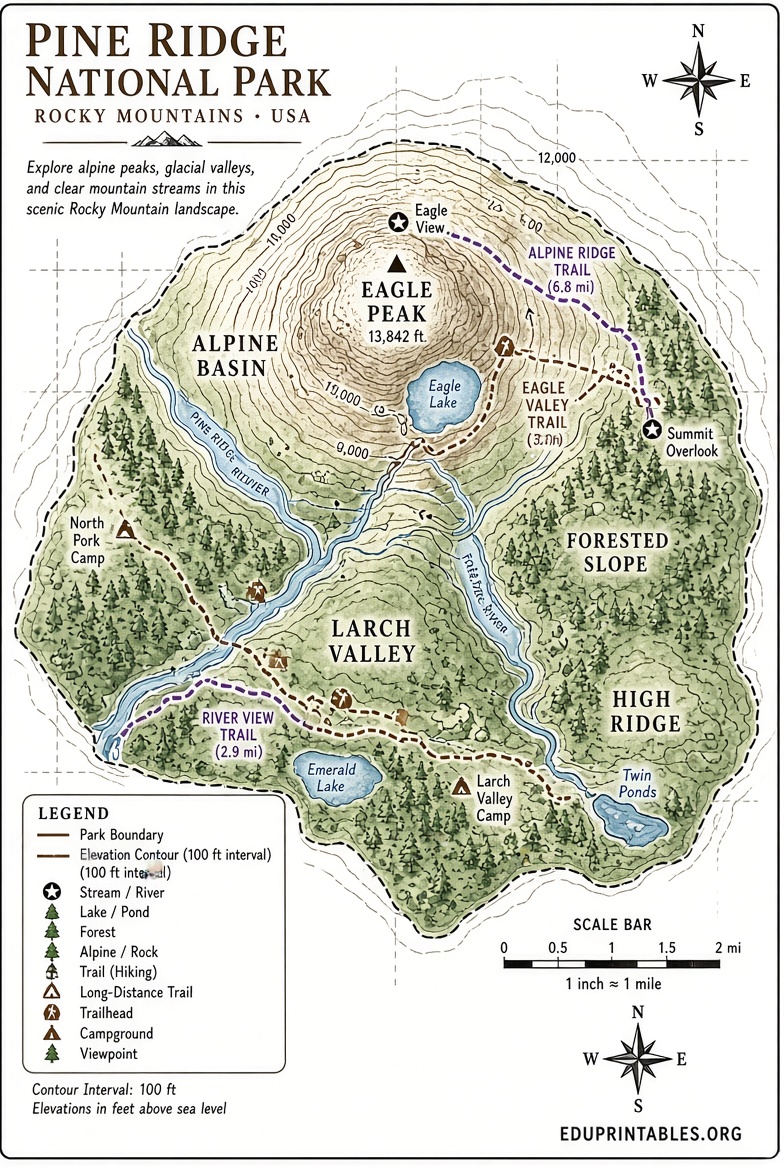
The U.S. Geological Survey offers the most authoritative free printable topographic maps covering the entire country. Current US Topo maps and historical topographic maps are available as free geospatial PDFs that open in any standard PDF reader and print cleanly.
Access them through The National Map Downloader, which lets you search by location, select the map type, and download immediately. These maps show elevation contours, roads, water features, and boundaries at useful scales such as 7.5-minute quadrangles.
Start here: The National Map Downloader.
For custom maps centered on any area of interest, use the free topoBuilder tool. It generates OnDemand Topos using the latest National Map data and delivers a downloadable PDF, typically within a day.
Create a custom map at topoBuilder.
Historical maps dating back more than a century are also free to download and print via the USGS topoView viewer.
Browse historical maps at USGS topoView.
These USGS resources are ideal for hiking, backpacking, land navigation, and any situation requiring detailed terrain information.
Free Maps from the U.S. Forest Service
Planning a visit to a national forest or grassland? The U.S. Forest Service provides free downloadable digital maps covering agency lands at multiple scales. These include topographic-style maps and visitor-oriented products that show trails, roads, recreation sites, and boundaries. Many are available as geospatial PDFs suitable for printing or mobile use.
Find and download them at the official Forest Service maps page: US Forest Service Maps.
Motor Vehicle Use Maps and other specialized products are often free as well and help ensure you stay on legal routes.
Free Printable Maps & Directions USA Guide
Practical Tips for Printing and Using Maps
- Use a color printer when possible for shaded relief and clearer features; black-and-white works for basic road or contour detail.
- Print on heavier paper or laminate key sheets for outdoor durability.
- Combine a Google Maps route printout with a USGS topo of the surrounding area for the best of both street-level and terrain detail.
- Download maps while you have internet access and store the PDFs on your device or a USB drive.
- Check the publication or data date on USGS and Forest Service maps so you know how current the information is.
State departments of transportation sometimes offer free printable highway maps through their tourism or DOT websites, though availability and formats vary by state. Official federal sources remain the most consistent nationwide option.
Brief FAQ
Are USGS maps really free to print?
Yes. Current US Topo maps, historical topographic maps, and custom OnDemand Topos are free digital downloads intended for public use and printing.
Can I print Google Maps directions from my phone?
The full print feature works best on a computer browser. From a phone you can share the route to email or another device and print from there, or take screenshots as a temporary solution.
What paper size works best?
Most free printable maps and Google directions format well on standard U.S. Letter (8.5 × 11 inches). Larger formats can be tiled if your printer supports it.
Are these maps suitable for navigation in remote areas?
USGS topographic maps and Forest Service products provide the contour and feature detail needed for off-road and wilderness use. Always carry a backup method and check current conditions before travel.
Free printable maps and directions from Google Maps, the USGS National Map, and the U.S. Forest Service give Americans reliable, no-cost tools for travel, recreation, and education. Bookmark the official download pages above and print what you need before your next trip.