Free Printable Map of Scotland | PDF Downloads – A printable map of Scotland free of charge is one of the easiest ways to explore the country’s geography, plan a trip, or support classroom learning. Scotland sits in the northern part of Great Britain and includes mainland areas plus hundreds of islands such as the Hebrides, Orkney, and Shetland. Whether you need a labeled political map, a blank outline for labeling, a physical map showing highlands and lochs, or a tourist version highlighting popular sights, several trusted sites offer legitimate free downloads.
This guide points you to current, free resources so you can download and print the version that fits your needs. All the maps linked below come from third-party sources and are available for personal or educational use. Always check the site’s terms if you plan to share or adapt a map.
Best Places to Get a Printable Map of Scotland Free
These five sources stand out for clear downloads, useful map styles, and reliable access. Each link opens the actual free printable or download page.
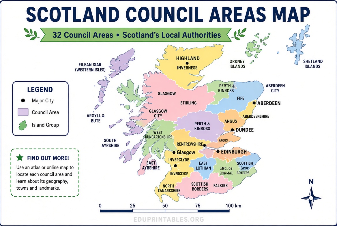
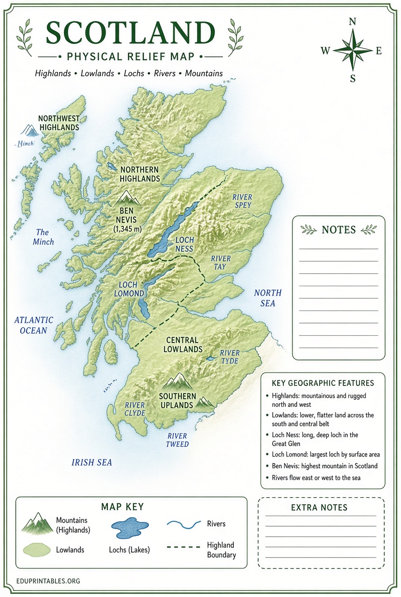
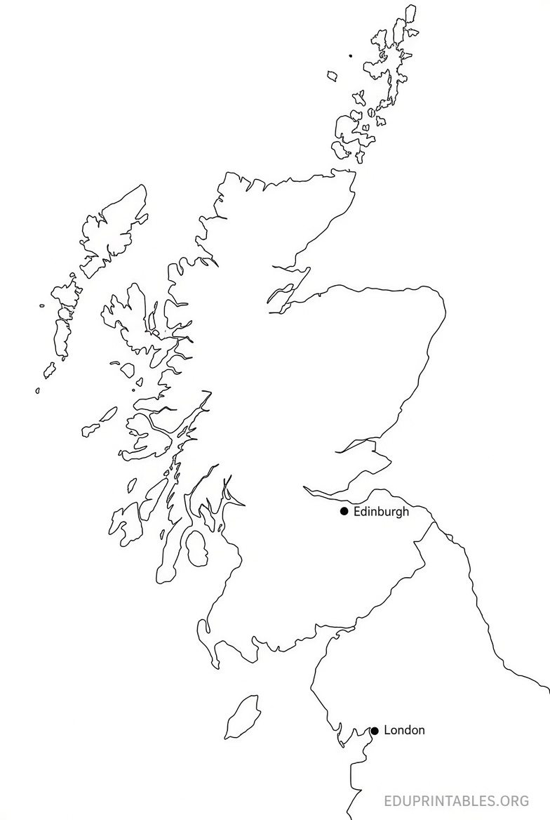
- Variety of educational PDFs (political, blank, physical, and coloring): MundoMapa offers high-quality free PDF maps of Scotland, including versions with council areas, city names, blank outlines with capitals marked, black-and-white coloring maps, and physical maps showing relief. Ideal for students and teachers. Visit the page here: Printable Map of Scotland PDFs.
- Free tourist map with numbered sights: Tripomatic provides a high-resolution printable tourist map of Scotland that marks top attractions such as Edinburgh, Glasgow, Loch Ness, and major castles. You can download the image for free or print it directly. Find it at: Scotland Printable Tourist Map.
- Official VisitScotland maps: VisitScotland’s travel trade resources page hosts free downloadable PDF maps of Scotland, including detailed versions with cities, maps without place names, and options with golf locations (both branded and unbranded). These are practical for trip planning. Access them here: VisitScotland Free Maps and Guides.
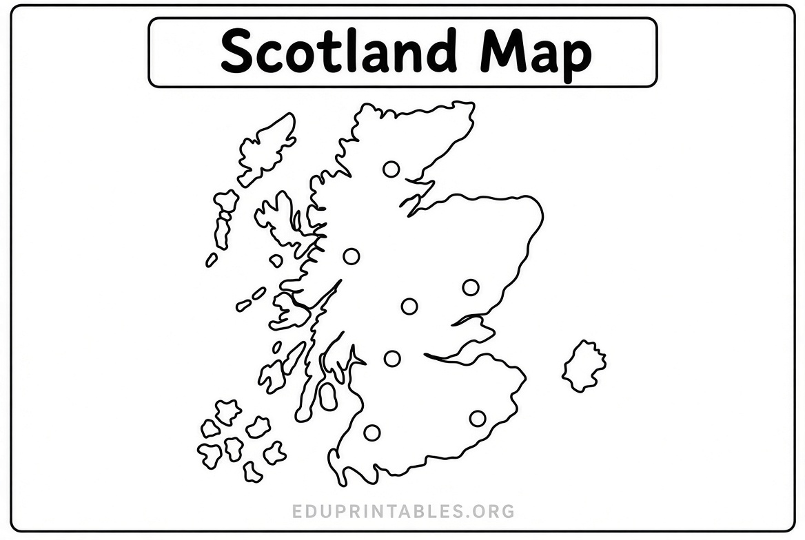
- Blank outline map for labeling or coloring: Maps of World offers a clean Scotland outline map designed for free download and printing, suitable for educational, school, or classroom projects. See the page: Scotland Map Outline.
- Simple free outline for teachers and worksheets: Kuraplan provides a free PNG outline map of Scotland under a Creative Commons license, ready for classroom worksheets or labeling activities. Download it from: Scotland Map Outline for Teachers.
Free Printable Map of Scotland | PDF Downloads
Types of Printable Scotland Maps and When to Use Them
Different map styles serve different purposes. A political map shows the 32 council areas and major cities such as Edinburgh (the capital) and Glasgow (the largest city). A blank or outline map works well for geography quizzes, coloring, or student labeling exercises. A physical map highlights the Highlands, Central Lowlands, Southern Uplands, rivers, and lochs. Tourist maps focus on sights, roads, and practical travel features.
For school projects or homeschool lessons in the United States, blank and coloring versions are especially useful. For families planning a Scotland trip, the tourist or official VisitScotland maps give a clearer overview of distances and destinations. Physical maps help explain Scotland’s dramatic landscape, from Ben Nevis to the islands.
How to Download and Print Your Free Map?
Most of the linked pages let you download a PDF or high-resolution image with one click. Open the file on your computer, then choose Print. For best results on letter-size paper (common in the USA), select “Fit to page” or “Actual size” depending on whether you want the full map or sharper detail. Color printing looks better for political or physical maps; black-and-white works fine for outlines and coloring pages.
If a map is large, you can print it across multiple pages and tape them together, or save it as a PDF for later use. Always preview before printing to avoid cutting off labels or scale bars.
Practical Tips for Using Your Printable Map of Scotland
Label major cities, islands, and lochs on a blank map to reinforce geography. Add notes about famous sites such as Stirling Castle or the Glenfinnan Viaduct if you are planning travel. For classroom use, print one copy per student and have them color council areas or mark the border with England. Keep a digital backup so you can reprint if the paper copy gets marked up.
Remember that free maps are usually intended for personal or educational use. If you need commercial rights or high-resolution vector files for design work, check the license on the source site or look for paid options with full rights.
FAQ
Are these printable maps of Scotland really free?
Yes. The five resources linked above offer free downloads for personal and educational use. You do not need to pay or create an account for the basic printable versions.
Which map is best for a school project?
A blank outline or coloring map from MundoMapa or the Maps of World outline works well. Students can label cities, council areas, or major physical features.
Can I use a free map for trip planning?
Yes. The Tripomatic tourist map and the official VisitScotland PDFs are practical for seeing major destinations and overall layout before you travel.
Do I need special software to print these maps?
No. Most files are standard PDFs or images that open in any web browser or PDF reader and print on a regular home or office printer.
A printable map of Scotland free of cost gives you a clear, paper-based way to study the country or prepare for a visit. Start with the links above to grab the version that matches your project or travel plans, then print and use it right away.