Free Printable NYC Subway Map (Official) – Looking for a free printable NYC subway map? The Metropolitan Transportation Authority (MTA) provides official, up-to-date versions of the New York City subway map that you can view, download, and print at no cost. These maps are the most reliable resource for tourists, residents, and visitors navigating the five boroughs.
Whether you need a diagram-style overview, a geographic layout, late-night service details, or larger-print versions, the official sources deliver accurate information reflecting current service patterns.
Official MTA Free Printable NYC Subway Maps
The best place to get a free printable NYC subway map is directly from the MTA. Their maps page hosts the current official diagrams and geographic versions.
Visit the main maps hub here:
https://www.mta.info/maps
Key options available include:
- Subway diagram (the primary schematic map showing typical weekday service). This is the classic-style network diagram most riders recognize.
Direct page: https://www.mta.info/node/5256 - Geographic subway map showing actual geography and station locations for weekday service.
Direct page: https://www.mta.info/node/36946
Additional useful versions on the same site include late-night diagrams, weekend service maps (updated for current periods), accessible stations maps, and large-type geographic maps for easier reading.
These official maps can be viewed online and printed from your browser or downloaded where PDF options appear. Always check the MTA site for the latest version, as service patterns and map designs are updated periodically (a major redesign occurred in 2025).
How to Print Your Free NYC Subway Map?
- Open the desired map page on mta.info using a desktop or laptop for best results.
- Use your browser’s print function (Ctrl/Cmd + P) or look for any available download/PDF link.
- Select landscape orientation and fit-to-page settings for clearest results on letter-size paper.
- For higher quality or larger sizes, save the image/PDF and print at a local copy shop or use a home printer with high-resolution settings.
Color printing is recommended because subway lines use distinct colors. Black-and-white works in a pinch but loses some clarity.
Free Printable NYC Subway Map (Official)
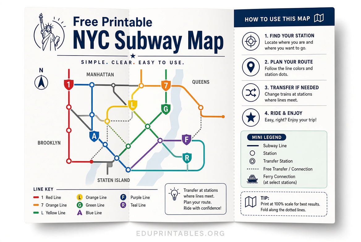
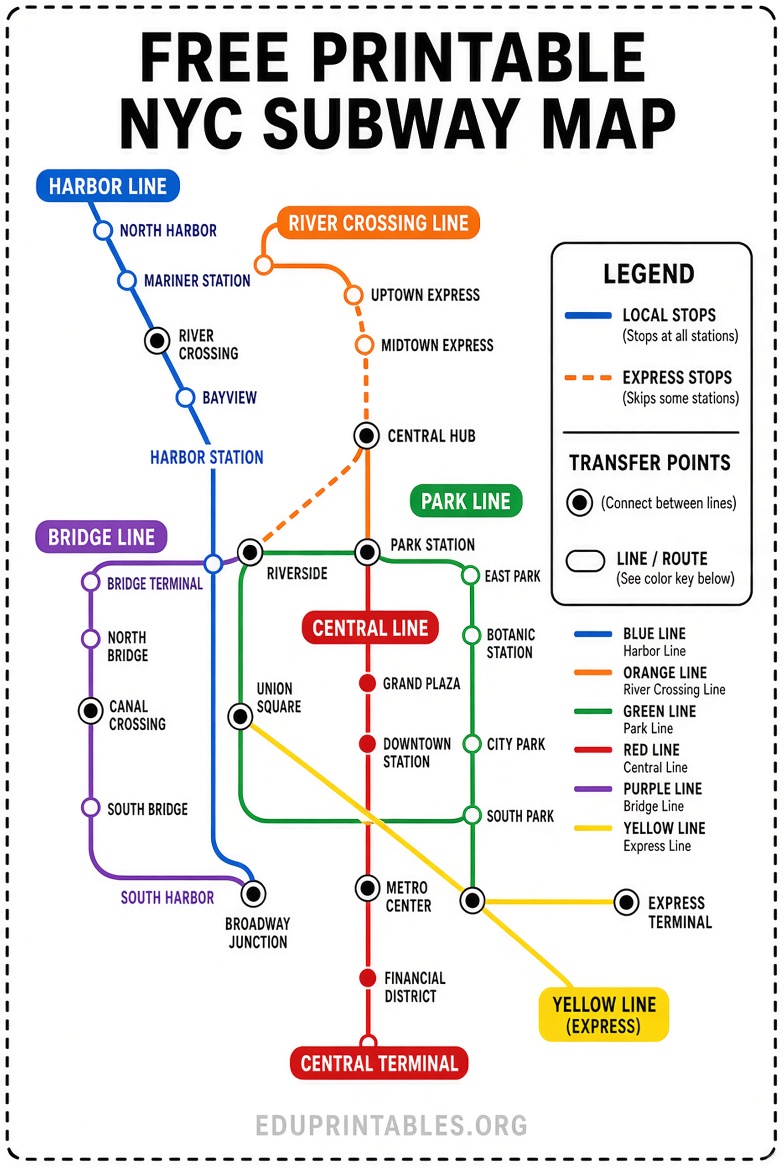
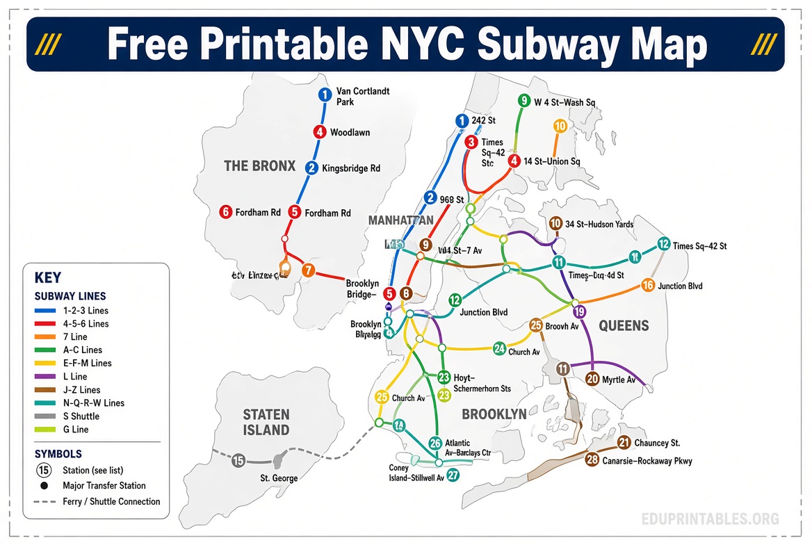
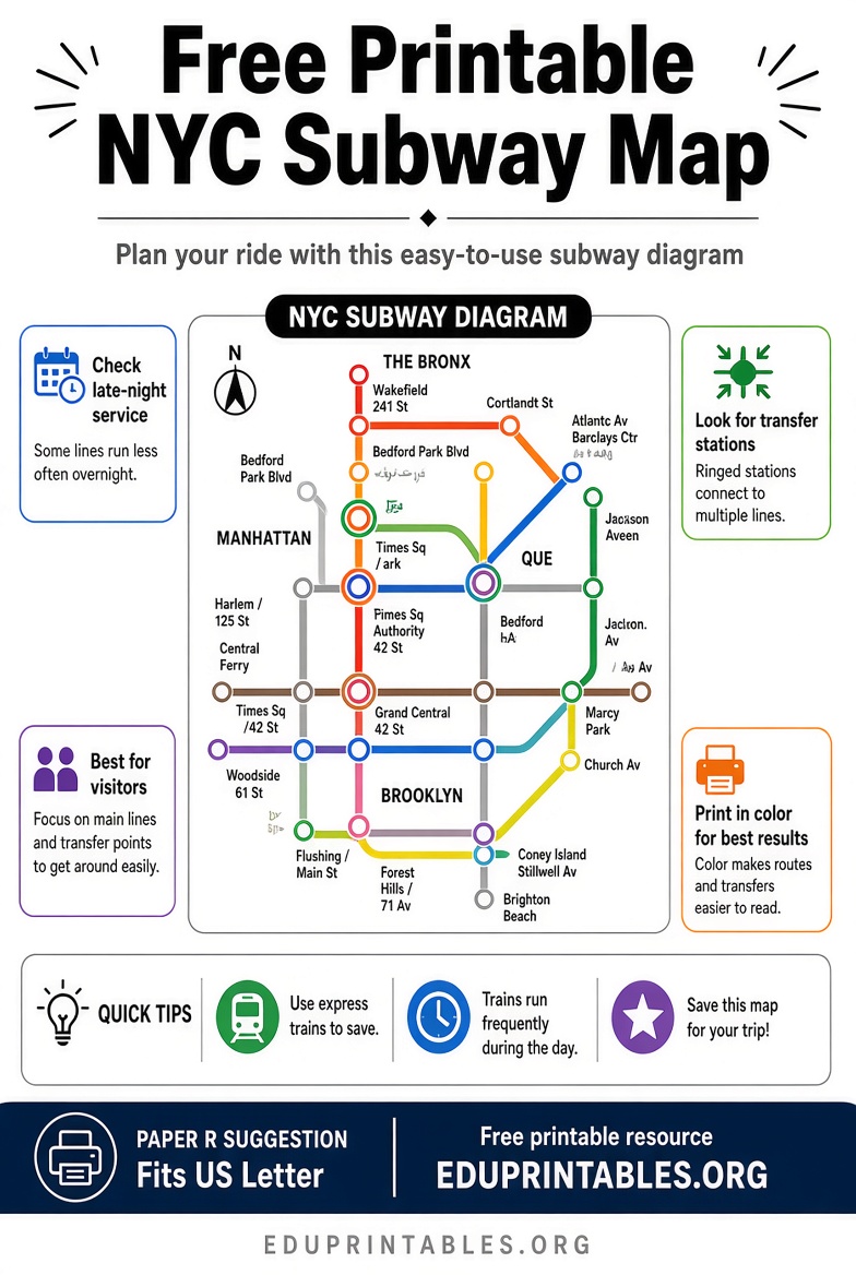
Tips for Using a Printed NYC Subway Map
- Note that express and local services, late-night reductions, and weekend changes appear on specialized versions.
- Cross-check with the MTA app or live map tools for real-time disruptions, elevator status, and current service.
- Keep a printed map as a reliable backup when cell service is spotty underground.
- Large-type and accessible-station versions help riders with visual or mobility needs.
Paper maps remain popular with first-time visitors and those who prefer offline navigation.
Alternative Free Diagram Resource
An independent, detailed subway diagram maintained by Joseph Brennan at Columbia University is also freely available as a PDF and updated periodically. It offers another clear schematic view of the system.
Access it here: https://www.columbia.edu/~brennan/subway/
This is a non-official but long-standing free printable option used by many enthusiasts.
FAQ
Is the official MTA subway map free to print?
Yes. The maps on mta.info are provided for personal, non-commercial use and can be printed at no charge.
How often are the maps updated?
The MTA updates service diagrams for weekends, late nights, and major changes. Check the maps page for the current edition.
Can I get a physical paper map for free?
Official paper maps are sometimes available at station customer service centers or during special giveaways, but the most consistent free option is printing the digital versions yourself.
What’s the difference between the diagram and geographic map?
The diagram is schematic and emphasizes connections and routes. The geographic version shows real distances and neighborhood layout.
For the most accurate free printable NYC subway map, start with the official MTA resources linked above. Print one (or several versions) before your trip and you’ll have a dependable guide ready anytime.